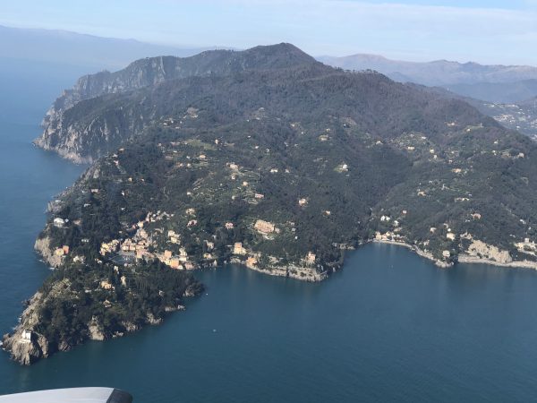
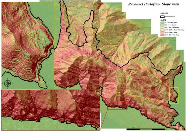
In February RECONECT project partner EUROSENSE has executed two survey flights on the Portofino Natural Park (Demonstrator A). Since the area is frequently hit by landslides and the risks of erosion are high (due to steep slopes and heavy rainfall events), the data derived from the combined LiDAR and photoflights will support modelling of these risks in detail.
The monitoring program includes also the identification of stone terraces, which will also be supported by the LiDAR data. After the implementation of the Nature-Based-Solutions, another airborne survey is planned to monitor changes. In this way remote sensing data contributes to protect the unique landscape of Portofino Park.


