Description of the Demonstrator
Portofino Park needs for interventions to reduce its vulnerability against meteo-hydrological events. NBS are implemented to conserve landscape, natural and cultural heritage and touristic value.
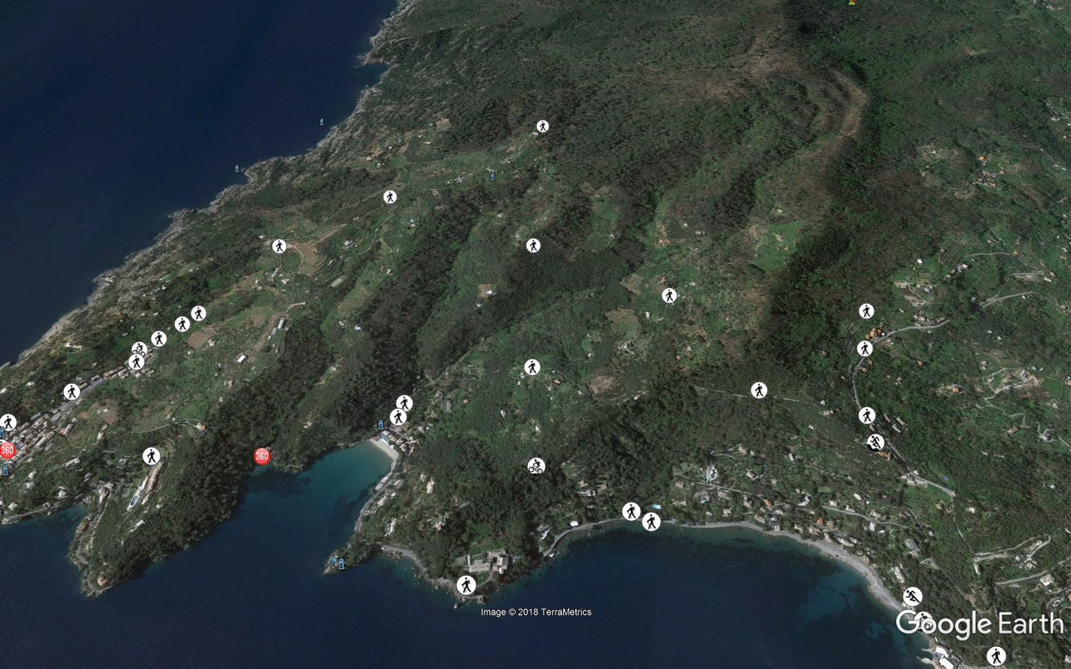
The Natural Regional Park of Portofino is located at around 30km from the city of Genova and includes the municipalities of Camogli, Portofino and Santa Margherita Ligure. It has an extension of more than 1000ha.
Context
Environmental and Geographic context, climate conditions and problem description concerning hydro-meterological risks.
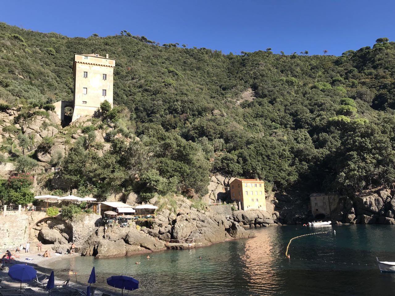
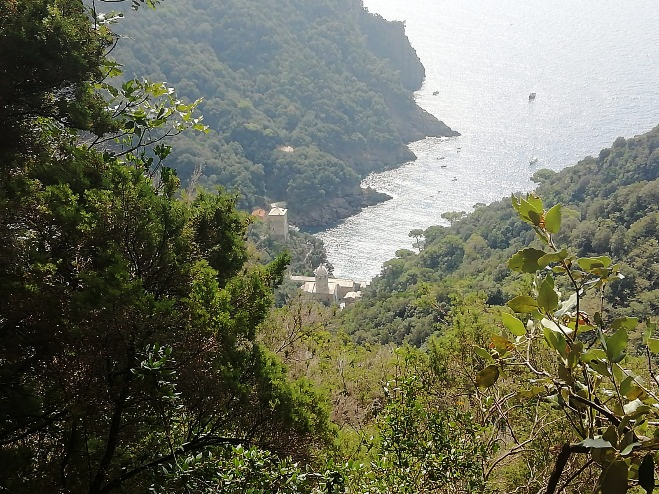
The Promontory of Portofino shows views and landscapes among the most famous in the world. Formed by giant conglomerate deposits overlying limestone banks, it has geomorphologic and microclimatic features that, in a limited territory, have created very different environments.
The increase of brief and intense rainfall events, as verified analysing rain gauges data over the last 100 years, tends to foresee a possible growth in flash flood events that, considering the steepness of the slopes and the accumulated debris, can determine favourable conditions for triggering increasingly disastrous debris and mud flows.
The analysis of geomorphological, geological, historical and socio-economic factors has clearly shown that the abandonment of the terraces led to an increase in geo-hydrological risk in an area already struggling to maintain a delicate balance between natural and historical aspects of its landscape.
Find out more in this article
Implementation
The Portofino Natural Park is promoting interventions aimed at reducing geo-hazards and vulnerability against climate changes and extreme rainfall events. There interventions are mostly carried out through natural and nature based solutions, aimed at exploiting and regenerating ecosystem services and natural functions of the area.
NBS Works done in the Portofino Natural Park within RECONECT relates in particular :
- dry-stones walls construction and abandoned terraces restoration, with the aim to valorize the terraced landscape, and push the agricultural activities;
- hydraulic-forestry arrangements on water courses;
- riverbed and tributary arrangements;
- natural engineering interventions along hiking paths;
- Interventions of wood amelioration and re-forestation.
Four are the small catchments involved in RECONECT: the 2 San Fruttuoso Catchments (Rio dei Fontanini e Vallone di San Fruttuoso) and the 2 Paraggi Catchments (Fosso dell’Acqua Viva e Fosso dell’Acqua Morta).
- Decrease the geo-hydrological vulnerability of cultural heritage, real estate and in general natural and urbanized areas within the Park.
- Decrease the risk of injuries among the Portofino Park visitors due to the instability of slopes in hiking paths.
- Promote a “new culture” for land planning and climate change adaptation and integrate NBS into strategies and policies.
- Improve the collaboration between the Park Authority and the main local actors, (model of “governance”)
Installation/Construction key actors: Municipalities in the Park, Genoa Metropolitan City, University of Genoa
Monitoring key actors: Meteorological Associations, Portofino Marine Protected Area, Municipalities in the Park, University of Genoa
- Innovative monitoring technology and methods
- Positioning of the Park among national and international institutions that are adopting and promoting holistic approaches with integrated NBS and IT solutions to manage climate change impacts.
- Innovative application and demonstration of NBS in the Portofino Park with a high replication potential in Italy both in sea (e.g. Liguria, Campania, Sicilia–Pantelleria) and in mountain regions (Alpine Regions), in Europe (e.g. Greece, Canaries) and in the world (e.g. Chile, China) and in all areas having similar geomorphological features.