Description of the Demonstrator
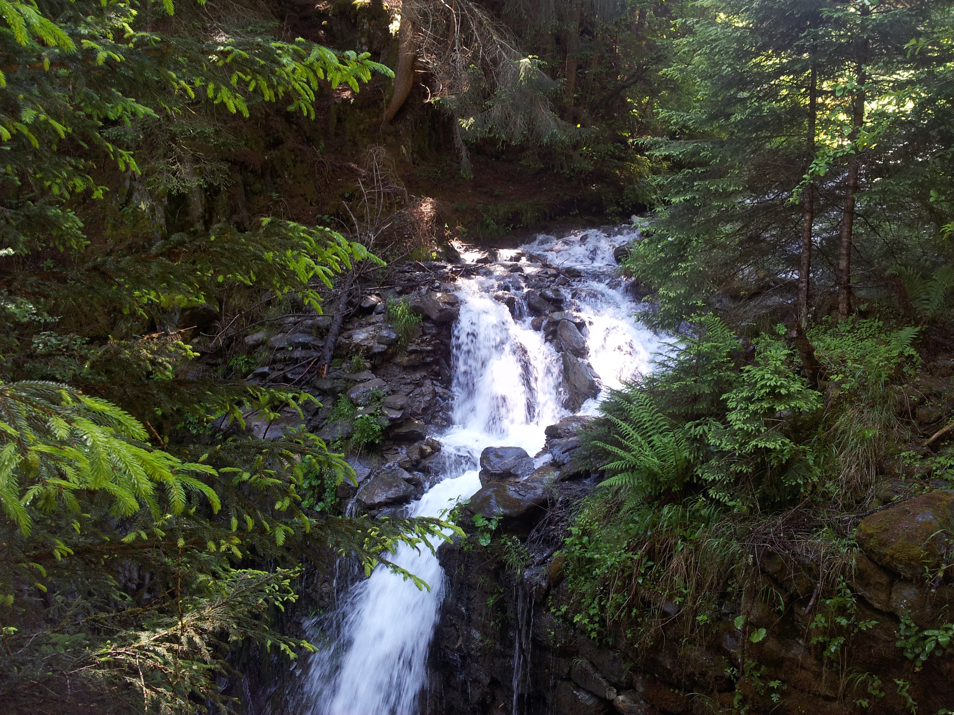
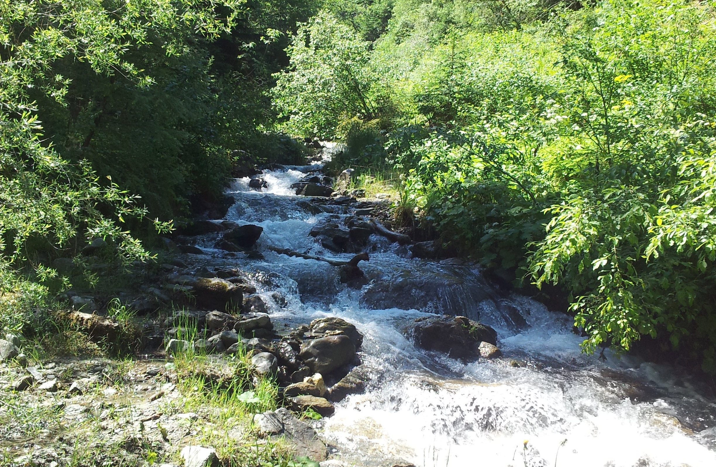
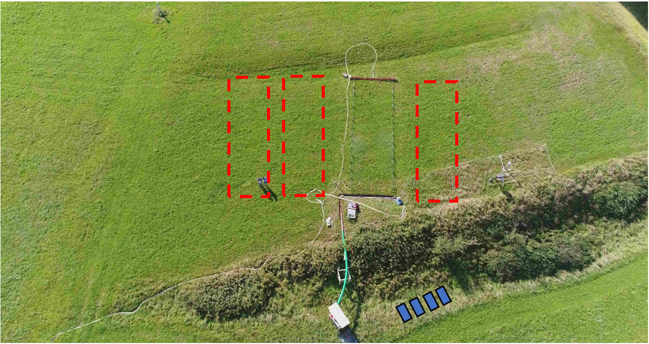
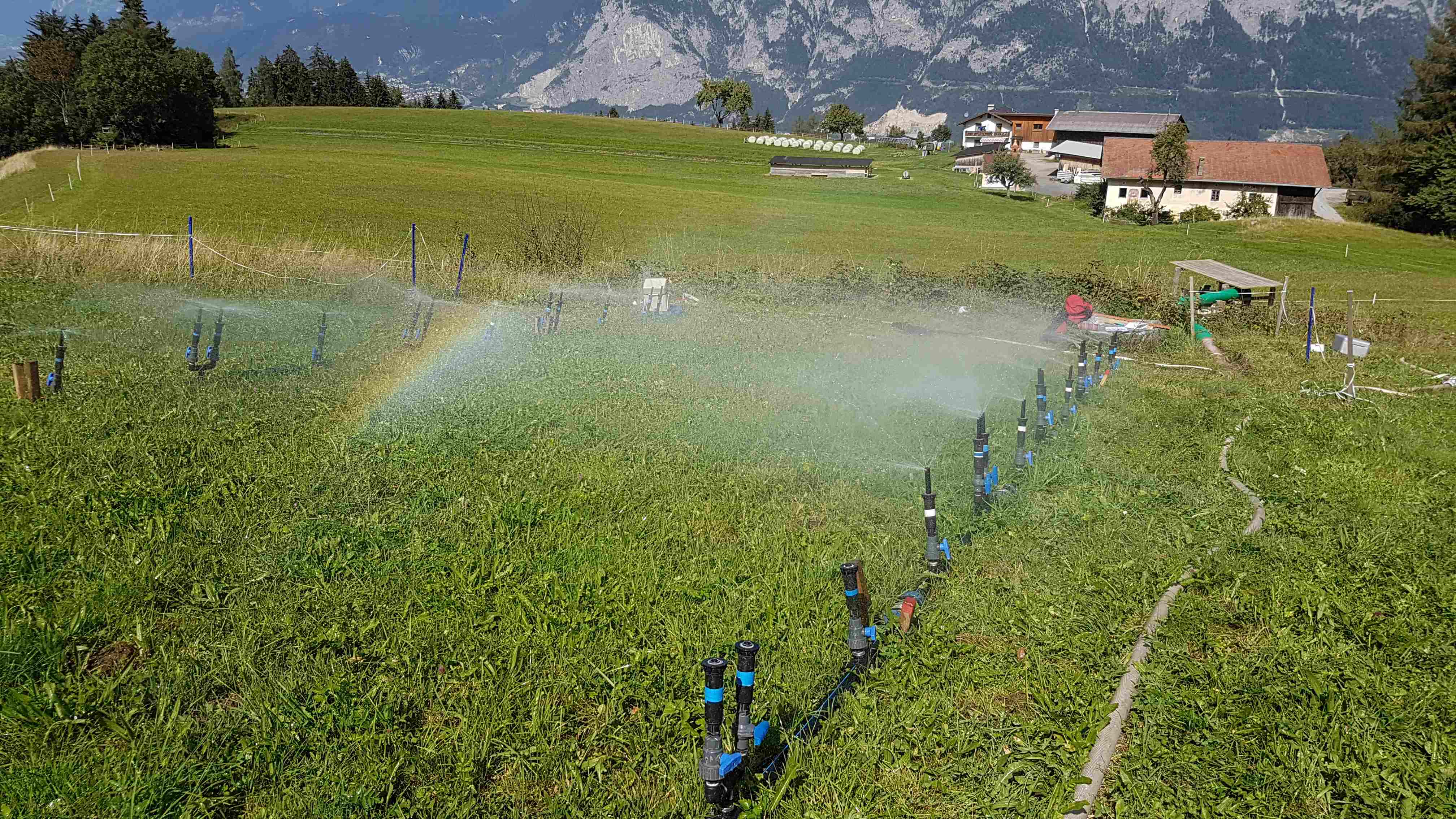
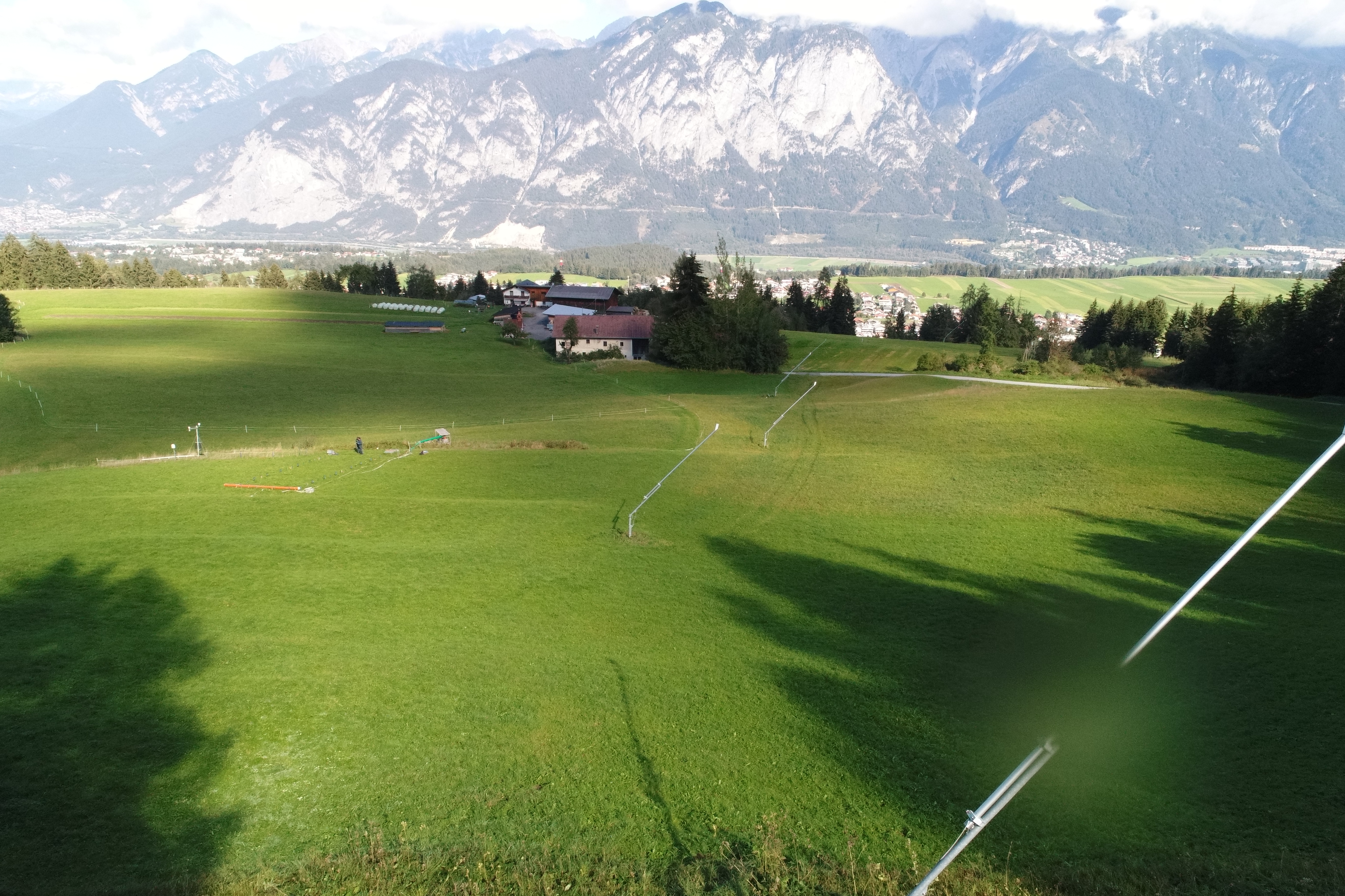
The case study deals with the urban/torrential catchment interaction in alpine environments. NBS are installed in torrents since the 1950ies allowing to test the effects post-ex. Measurements at plot and catchment scale support modelling and generalization to assess other catchments.
The overall planned case study includes various sub-catchment configurations located in the Tyrol, primarily along and in the tributaries of the River Inn valley. The catchment Geroldsbach- Götzens is used as a lead catchment, being typical for numerous similar urban/rural configuration. All installations regarding monitoring and process assessment are transferred to all other investigated catchments on a modelling basis.
Context
Environmental and Geographic context, climate conditions and problem description concerning hydro-meterological risks.
The catchment is located near Innsbruck, Austria, in south-west direction. The overall catchment comprises of the torrential catchments Geroldsbach (12 km2) and Marbach (1.2 km2) with two urban catchment parts (Götzens and Neu-Götzens) located in the downstream part. Neu-Götzens is part of the municipality of Götzens with partly industrial and partly new settlement area. Until now the population has grown up to 4.062 (2018). Runoffs interact with the receiving water of both torrent watersheds.
The torrential catchment Geroldsbach is located above Götzens (~868 m.a.s.l.). Its river spring is at an elevation of ~1920 m.a.s.l. near the mountain Birgitzköpfl and is enclosed at the top by the mountain peaks Nockspitze (Saile; ~2404 m.a.s.l.) and Birgitzköpfl (~1982 m.a.s.l.). Total length of the torrent main channel is 8 km, whereas after 9.4 km the Geroldsbach joins the river Inn. Along its pathway the river merges with several small side rivers and tributaries, like Gehrbach, Grosser Blaikenbach, Tödersbach, Kirchbach, Horachbach and Marchbach and some other (nameless) tributaries.
The torrential catchment, investigated faces as typical for such type of catchments, convective precipitation events leading to high discharges associated with sediment transport. Downstream of the torrential part, the interactions with the urban sub-catchments are the case. Flooding as well as confluence situations are result in critical situations and are subject of the investigation.
Implementation
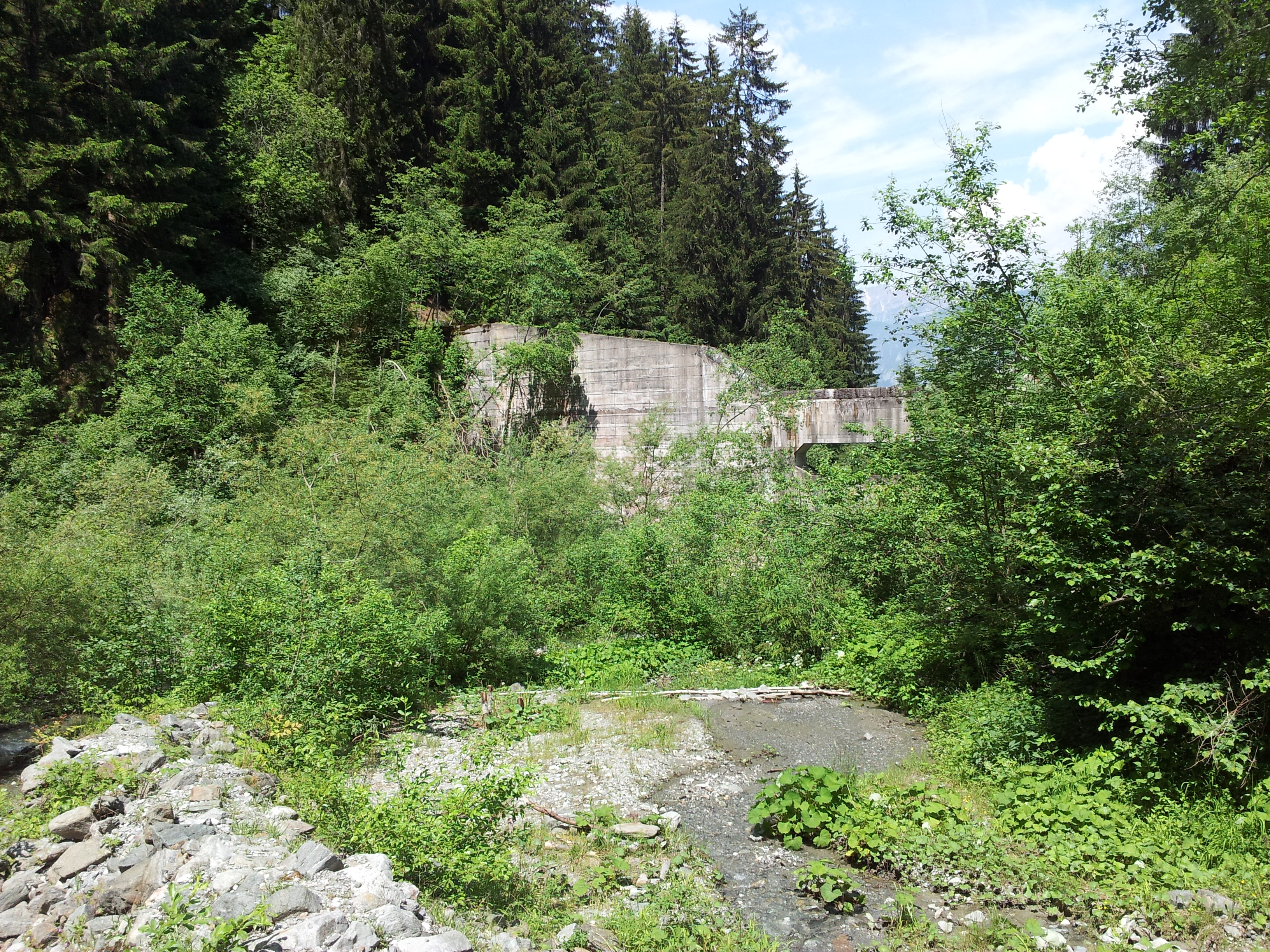
Since early 1950 and in some places even earlier – biological (nature) based solutions are implemented in many torrents. Besides the creation of technical solutions such as retention basins etc., integrated ameliorative measures (Kohl etal 2004) to reduce runoff have been used. Such measures involve the change of land use, creating grass land or support reforestation and expansion of forested parts of a catchment.
The demonstration concept applied is a mix of monitoring and modelling based approach. In the lead catchment the rural/torrential catchment as well as the urban catchment are assessed with regard to runoff processes linked to various land use options. The development and effects of measures over time are addressed on a modelling basis using the monitoring data. Historic data sets and the thereby covered changes in land use given in the torrential and urban catchments are quantified an evaluated. Implementing hydrological models covering the total catchment allows to quantify the benefits for different event magnitudes and spatial distributions of storm events.
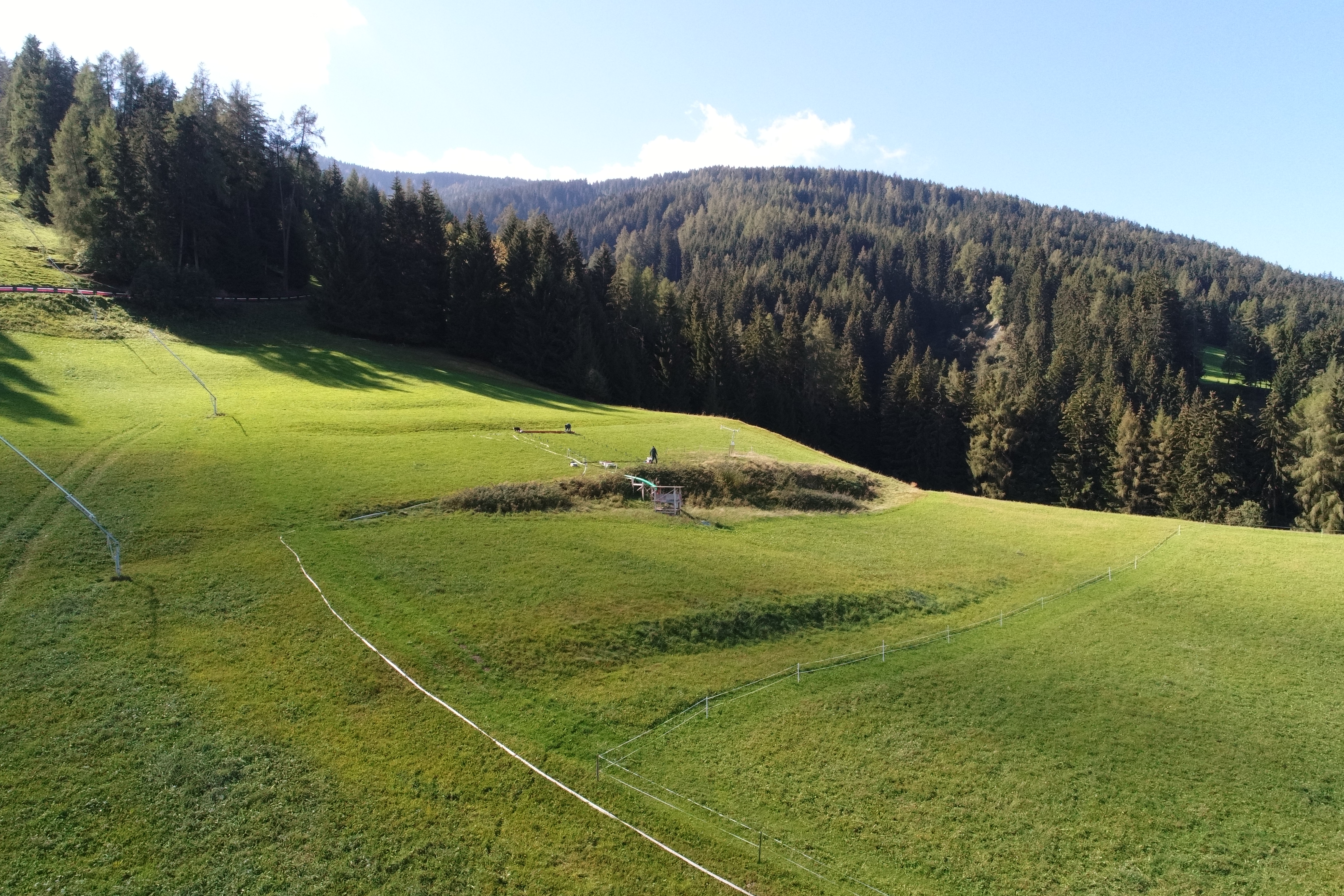
Besides the reduction of flood flows, the recreation of mountain catchments provides local areas for nature based recreation zone, tourism activities and enhances the biodiversity.
- Universität Innsbruck. Department of Infrastructure Engineering
- BFW – Austrian Research Center of Forests Department of Natural Hazards
- BOKU-MET Department of Meteorology, BOKU- University of Natural Resources and Life Sciences
For generalizing and upscaling of the findings, especially with regard to (a) land use in torrents (b) land use at the urban scale , models are realized as well for different other torrential/urban catchments.
Beyond realizing historic and current situation exclusively, dynamic land use change over time and potential future scenarios are set up. Novell aspect here is, the quantification of benefits and limitations gain able by urban vs. torrential NBS together with technical measures. For both, impacts varying over time and for different catchment configurations are elaborated.
Provincial Government of Tyrol – Department for Water Management (https://www.tirol.gv.at/umwelt/wasser/ )
Service for Torrent and Avalanche Control – Federal Ministry for Sustainability and Tourism (www.die-wildbach.at )
Municipalities located in the catchments (Götzens, and others)
- Götzens (http://www.goetzens.tirol.gv.at )
- Axams (https://www.axams.tirol.gv.at/ )
- Mutters (http://www.mutters.tirol.gv.at/ )
- Grinzens (http://www.grinzens.tirol.gv.at/ )
Muttereralm – Skiresort https://www.muttereralm.at/