Description of the Demonstrator
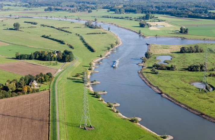
The Ijssel River basin project (‘Stroomlijn”) is implemented under the banner of the ‘Room for the River’ Programme. In the Ijssel project area (blue square in figure) it rains more often and with higher intensity. As a result, rivers are often confronted with high water levels. If the water flows into the floodplains, vegetation can impede the water flow, leading to a raise in water levels and an increase of the flood risk.
Context
Environmental and Geographic context, climate conditions and problem description concerning hydro-meterological risks.
The Rhine and IJssel delta experiences annual flooding. In 1993 and 1995, floods threatened to devastate regions surrounding the delta. Climate change is ongoing, and as the river floods each year the water distributes sediments throughout the floodplain, reducing the space that was initially allowed for annual floods.
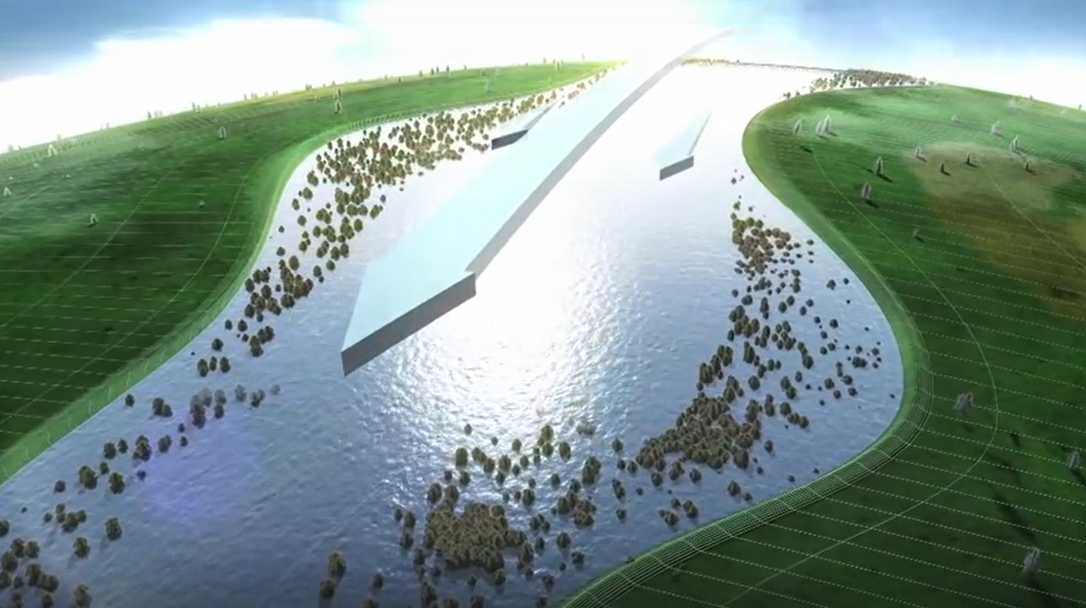
This Demonstrator focuses on innovative ‘room for the river’ by means of vegetation management of 300 hectares dealing with >10 disciplines and multiple stakeholders from public and private sector.
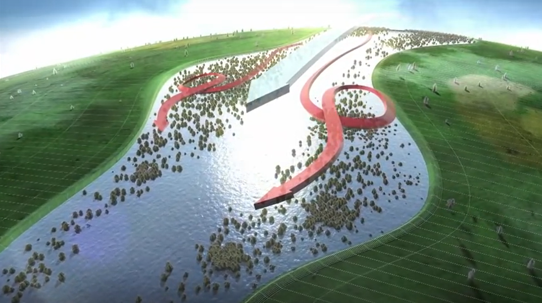
The project focuses on the removal of vegetation within the floodplains in places where the river flows fastest at high water levels. The goal of the Dutch Room for the River Programme is to give the river more room to manage higher water levels. At more than 30 locations, measures are taken to give the river space to flood safely while at the same time improve the quality of the immediate surroundings.
Implementation
- The RECONECT demonstration activities will monitor and evaluate the co-benefits of maintaining the vegetation in the river bed and floodplain (300ha) (smart vegetation management).
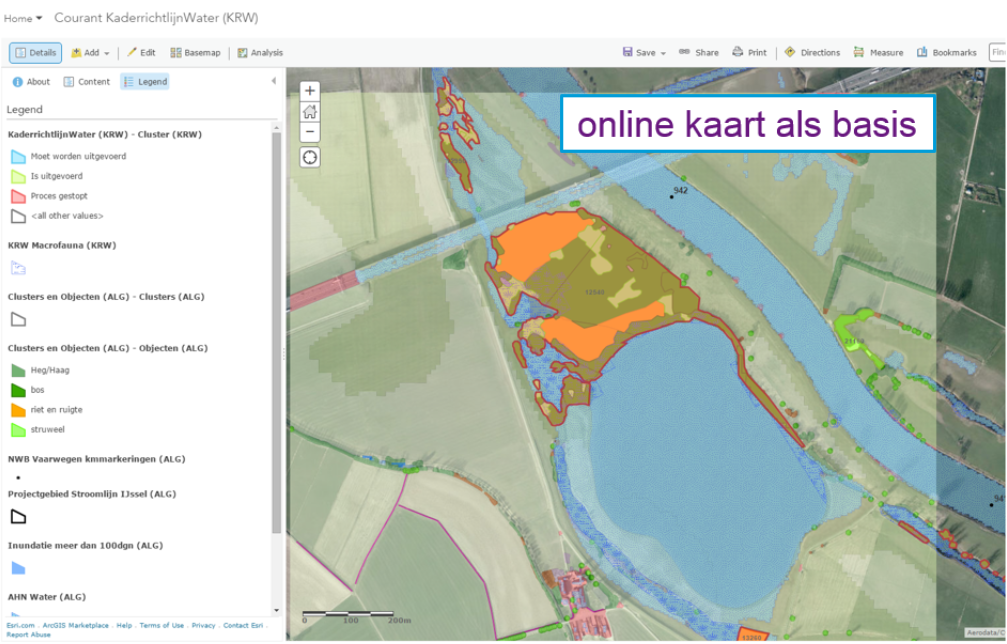
- Innovation in monitoring will be pursued ranging from large scale activities (satellite images) to detailed scale actions by the means of the (underwater) drones.
- Detailed reports on the evaluation in RECONECT will be made in GIS for a international knowledge sharing with RECONECT partners.
- Adaptive delta management reducing flood risk (people)
- Construction of a ‘green river’ (flood bypass) (water)
- Nature based maintenance (nature)
Other benefits
- Flood reduction
- Nature based maintenance
- Water quality improvement
- Innovative flow monitoring
- Flagship project of the Dutch Government
- Innovative monitoring technology and methods. (monitoring using drones and satellite images)
- Front runner in NBS implementation, with high upscaling potential.
- Communication, stakeholder management and cooperation using the GIS platform
Project Stroomlijn website (Dutch): https://stroomlijnijssel.nl/
Room for the River (Dutch): https://www.rijkswaterstaat.nl/water/waterbeheer/bescherming-tegen-het-water/maatregelen-om-overstromingen-te-voorkomen/programma-stroomlijn/index.aspx
Project Climate Scan page (English): https://www.climatescan.nl/projects/2687/detail